

Following the withdrawal of the monsoon, Nepal typically sees little significant rainfall until the end of winter. But this pattern could break this year, according to meteorologists.
A system named Cyclone Motha has formed over the Bay of Bengal. It is affecting India’s eastern coastline and intensified into a cyclonic storm on Sunday. According to Indian media, it is expected to reach near Kakinada in Andhra Pradesh by Tuesday, with wind speeds of 90–100 km/h.
This system is likely to impact not only Andhra Pradesh, Odisha, Tamil Nadu, Telangana, Kerala, Chhattisgarh, and West Bengal, but also Nepal’s Koshi through Gandaki provinces.
“The weather forecast shows a good chance of precipitation in Nepal from Tuesday to Friday (28-31 October) due to the impact of the cyclonic storms in the Arabian Sea and the Bay of Bengal,” meteorologist Binod Pokharel wrote on social media.
Currently, skies are cloudy across most parts of the country, including Kathmandu Valley. On Monday, Kathmandu saw alternating sunshine and cloud cover before heavy cloud buildup in the afternoon. However, rainfall had not begun as of the evening.
The Department of Hydrology and Meteorology also reported the influence of western winds and the Arabian Sea low-pressure system across the country.
Although the department has not yet issued a specific forecast on the impact of Cyclone Motha, air and road travel in Kathmandu and eastern regions may be affected on Friday and Saturday.
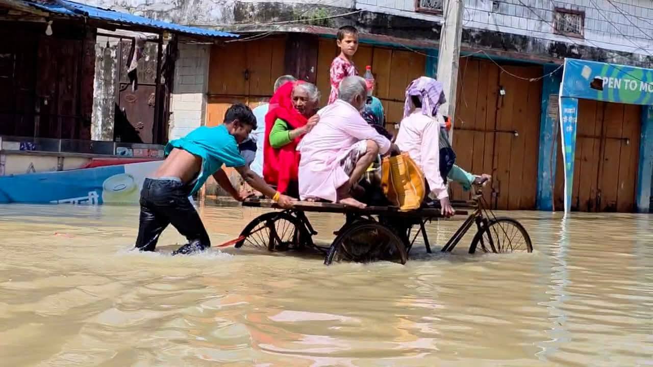
The outgoing monsoon this year resulted in widespread destruction of life and property as landslides, floods, and lightning strikes hit eastern Nepal.